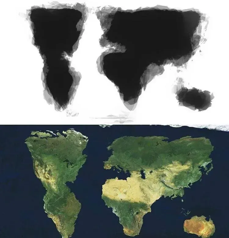
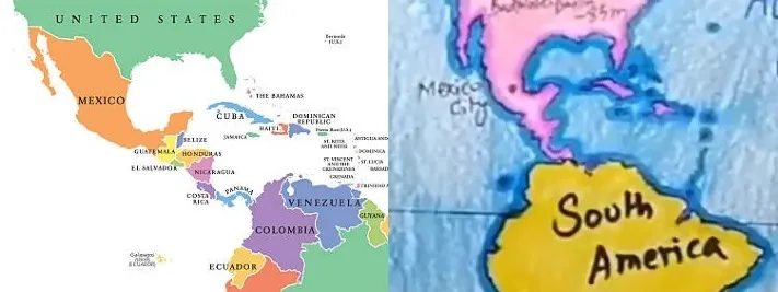
8 years ago today, a student posted this mashup of how other students (30 of them) remembered the South American position as it relates to North America. Nobody seemed to see anything overtly wrong with the position of South America within the body of that post from 8 years ago.
4 Years ago a kid posted this video showing the more old-world memory of the globe. There could be a slight eastward jog but South America is not at all where it is today (in June of 2026).
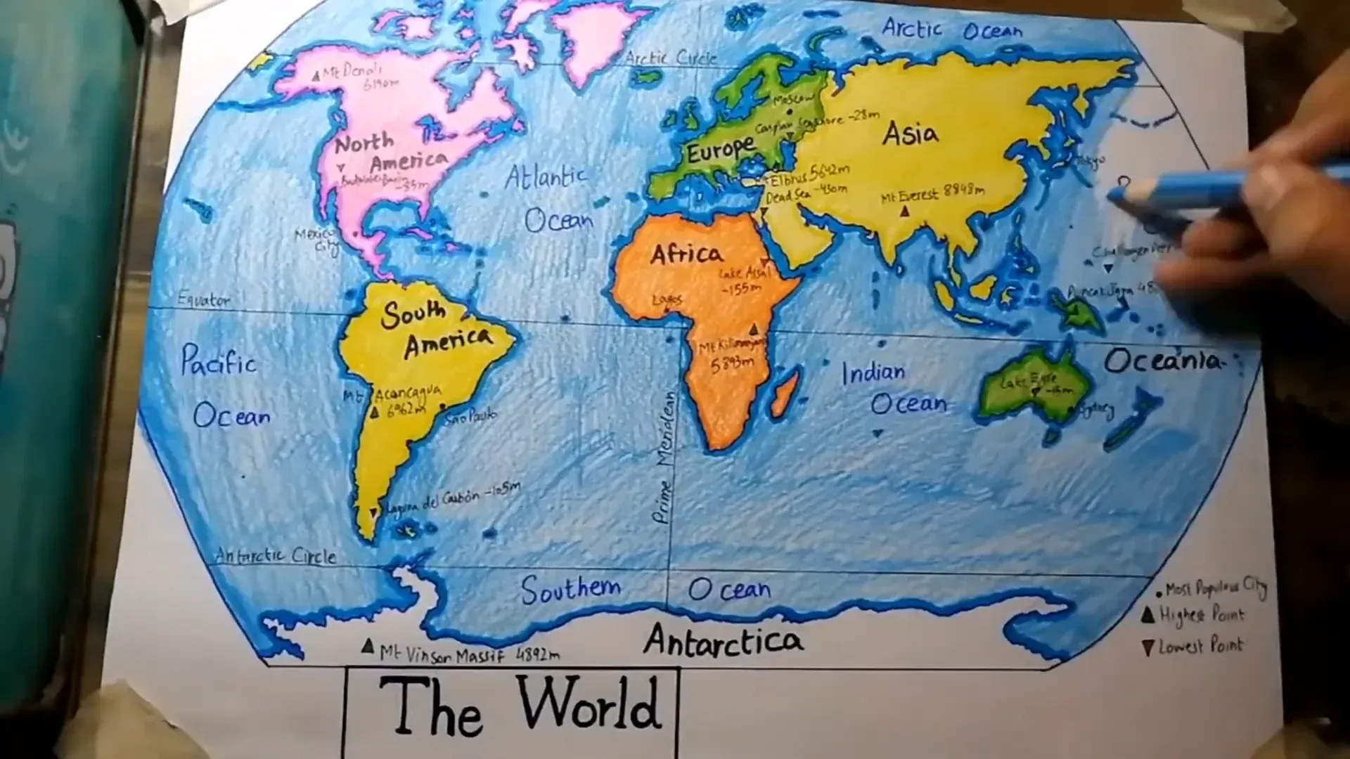
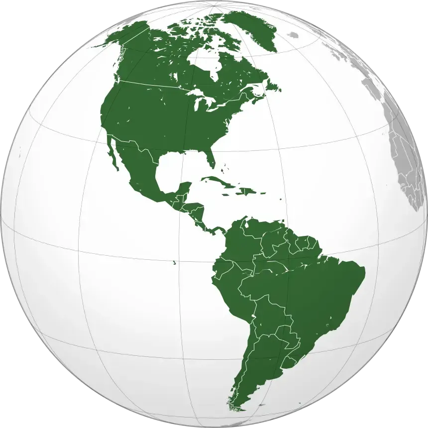
The image below represents exactly where South America is as of July of 2026.
The 8 year old mashup is remarkable. It suggests a timeline division; The kid who did the map mashup was within the same timeline of his classmates. Therefore, he and his classmates (around 8 years ago) all largely agreed with South America’s placement under North America. Then we take his hand drawn (unofficial) map and place it online and look at it 8 years later; What we now see in official map diverges exactly with what the in-era control group saw and drew. This is highly indicative of a timeline phenomena, which is precisely what CERN was created to “study”.
Hand-drawn maps (or items) do appear to be a way of preserving the old memories after official versions are updated late into the future. The 8 year old mashup should not exist as it does, nor should the “error” have went unnoticed as it was. The 4 year old you tube drawing also helps drive the point home; Detailed, colorful and written to match what the creator saw/remembered and diverges dramatically from today’s “official position”.
Latin America Shift
By zooming in on the new and old positioning, we can see the details. Regardless of which one you remember, the data presents two completely separate data-sets or timelines. Interestingly, most people who remember alignment right typically reside in America.
In Conclusion
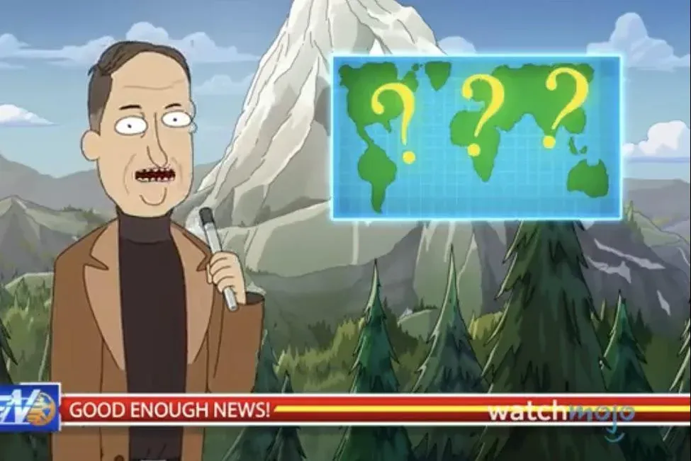
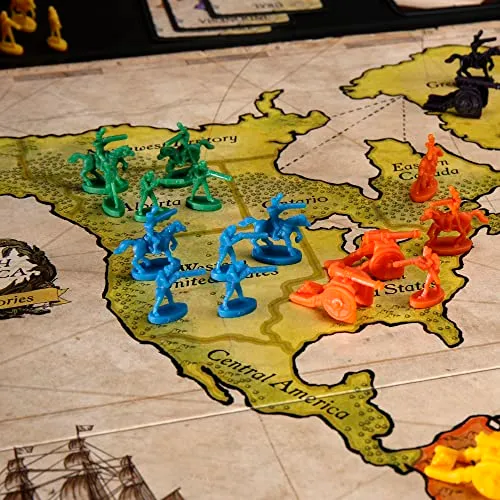
Below is some general residue which was created by non-official sources, a tv show and the game Risk. This is a key characteristic of the Mandela Effect phenomenon; The old maps which showed what we remember are now impossible to find outside of non-official or hand drawn sources, which is absurd. If this was a naturally occurring error then the errored based originals should be rampant and easily locatable. Because they are not, the paradox is now made 100% clear and undeniable. The original source flawed maps are isolated within that timeline and no longer accessible, beyond what we personally render or draw.